Showing 12 results
Archival description12 results with digital objects Show results with digital objects

Map of Aston & Bampton dated 1773 pre Inclosure Act

1797 Map showing Bampton Hundred

Bampton at Time of the Enclosure Act 1821

Map 1913 Edition Marsh Lane East incl Weald and Clanfield Road

The Lew Estate 1914

Maps of East Half of Bampton 1921

Ordnance Survey Map dated 1922 Grafton to Chimney including villages

Lower Haddon Farm 1949 Auction Maps

Ordnance Survey PlanSP3002-3102 Weald, Hayway Lane, Weald St, Clanfield Rd. 1971
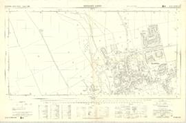
Ordnance Survey Plan SP3003-3103. Bridge St east Colvile Close etc 1971
Results 1 to 10 of 12