Showing 29 results

Archival description
Maps
Print preview View:

27 results with digital objects Show results with digital objects

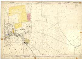
2nd edition maps of 1899 Bampton, Black Bourton, Mt Owen Road
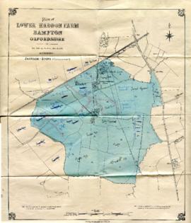
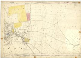
Map with sale of Lower Haddon Farm March 1949
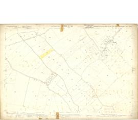
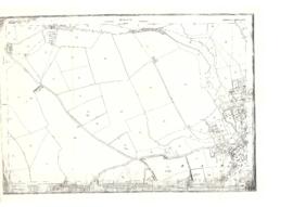
Map 1913 Edition  Marsh Lane East incl Weald and Clanfield Road
Map 1913 Edition Marsh Lane East incl Weald and Clanfield Road
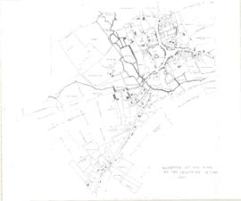
Bampton at Time of the Enclosure Act 1821
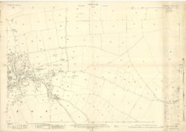
Second Edition 1899. Ordnance Survey Map Central Bampton east  towards Aston
Second Edition 1899. Ordnance Survey Map Central Bampton east towards Aston
Maps by Janet Westman of Brize Norton, Cassington, Eynsham, Gloucestershire, Oxfordshire, Witney
Bampton maps of 1921
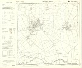
1974 OS map of Bampton and Aston
The Development of Printed Maps of Oxfordshire: From GOUGH to Google
Maps of East Half of Bampton 1921
Results 1 to 10 of 29