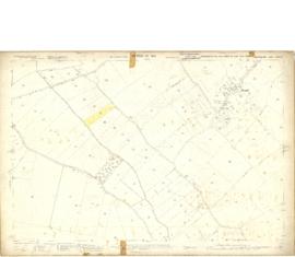
1913 map of Weald, west to Marsh Lane on east edge of Clanfield
- BCA - 2020.2394
- Item
- 1913
This map is from 1913 and covers the area from Marsh Lane on the eastern edge of Clanfield west across Weald. However, all of Bridge Street, half the Talbot Inn, the west side of the Market Square, the South side of Church Street and Church View are all in Weald and they are not shown here, possibly because the map was for agricultural purposes. There are some very interesting notes added in pencil.
Bampton Community Archive

