Showing 13 results

Archival description
Weald Text With digital objects
Print preview View:

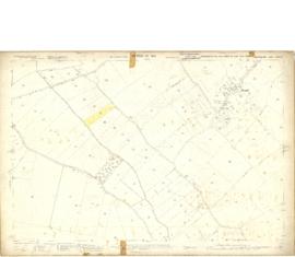
1913 map of Weald, west to Marsh Lane on east edge of Clanfield

  • BCA - 2020.2394
  • Item
  • 1913

This map is from 1913 and covers the area from Marsh Lane on the eastern edge of Clanfield west across Weald. However, all of Bridge Street, half the Talbot Inn, the west side of the Market Square, the South side of Church Street and Church View are all in Weald and they are not shown here, possibly because the map was for agricultural purposes. There are some very interesting notes added in pencil.

Bampton Community Archive

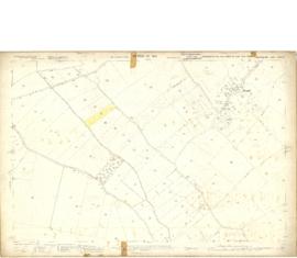
Map 1913 Edition Marsh Lane East incl Weald and Clanfield Road

  • BCA - 2022.3812
  • Item
  • 1913

Ordnance Survey Map showing Area from Marsh Lane, Weald and Clanfield Road,
used by Habgood and Mammatt Chartered Auctioneers and Estate Agents of Witney
Some Pencil markings showing land belonging to Parker, Abingdon Poor, Litchfield, Buckingham, Townsend, and "Little Weald" Auction 15/6/62.
Printed and published by Ordnance Survey Office Southampton 1913 Price 3/-

Janet Westman

Death of Liberty Baker

  • BCA - 2022.3936
  • Item
  • 2014

Newspaper cutting reporting death of Liberty Baker in Witney

Janet Westman

Results 11 to 13 of 13