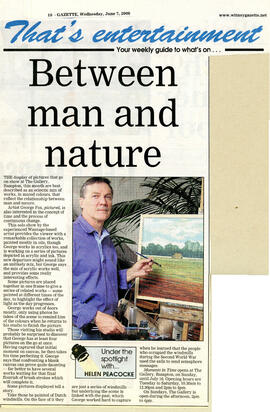
Between Man & Nature June 2006
- BCA - 2023.4663
- Item
- 2023
Between Man & Nature June 2006
Nik Stanbridge
4531 results with digital objects Show results with digital objects
Between Man & Nature June 2006
Between Man & Nature June 2006
Nik Stanbridge
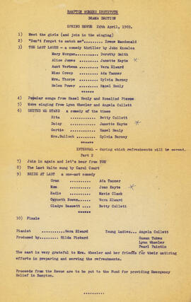
Bampton WI Spring Review April 24th 1969
Bampton WI Spring Review April 24th 1969
Nik Stanbridge
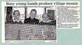
Bampton School win prize for millennium mosaic
Bampton School win prize for millennium mosaic
Nik Stanbridge
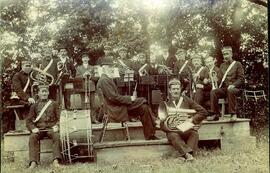
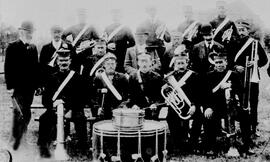
Bampton Brass Band. The conductor is the church organist Mr Taunt. From Frank Hudson
Bampton Brass Band. The conductor is the church organist Mr Taunt. From Frank Hudson
Nik Stanbridge
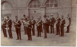
Bampton Brass Band, early 20th century. Market Square. Notice that the arches of the Town Hall were bricked up. From Barbara Daw
Nik Stanbridge
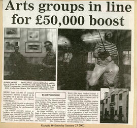
Arts groups in line for £50k boost 2002
Arts groups in line for £50k boost 2002
Nik Stanbridge
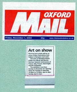
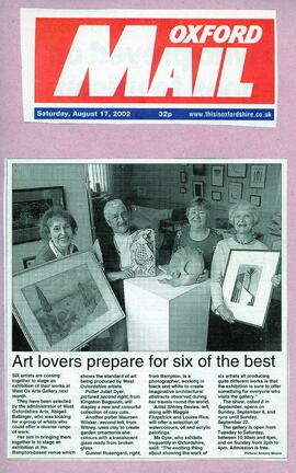
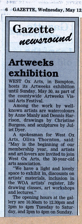
Art lovers prepare for six of the best 2002
Art lovers prepare for six of the best 2002
Nik Stanbridge