Identity area
Reference code
BCA - 2023.4097
Title
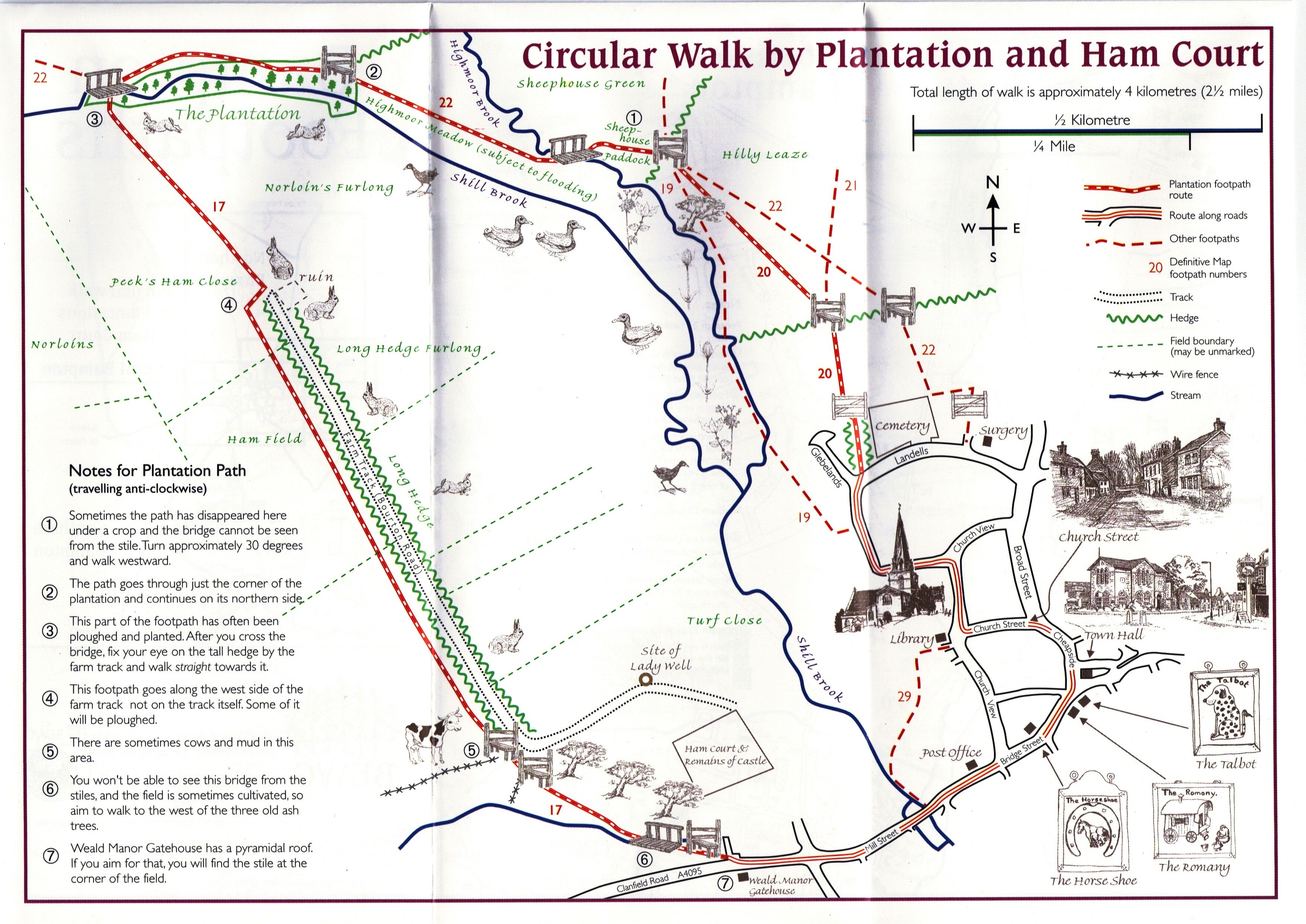
Circular Walk Map - Plantation and Ham Court
Date(s)
- 2000? (Creation)
Level of description
Item
Extent and medium
JPG
Context area
Name of creator
Biographical history
Archival history
Immediate source of acquisition or transfer
Content and structure area
Scope and content
Map of circular walk around Bampton which goes through Plantation and around Ham Court to Clanfield Road
names old fields and meadows i.e. Ham Field, Long Hedge Furlong, Turf Close, Shill Brook, Peeks Ham Close, Norloin's Furlon,
High Moor Meadow, Hilly Leaze