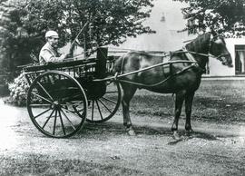
two maps - A Plan of Lower Hadden Farm from the Auction held in March 1949, and a hand drawn map of same area Auctioneers were Jackson-Stops (Cirencester) With hand written field names as follows Bampton Station Fairford to Oxford GWR Barnleys Pasture Big Barleys Big Row Black Bourton Road Bowlie Ground Bridle Path to Black Bourton Bridle Road Broad Close Cow Leas Far Hill Far Limber Front Field Furse Hill Harps Highmoor Brook Home Close Horn Ground James' Meadow Little Barleys Long Meadow Lower Hadden Farm Middle Hill Mill Barn Copse Near Barleys Near Limber Pike Ground Pond Gardens Rogers Meadow Rushey Row Smart Hill The Big Monk Water Meadows Willow Beds
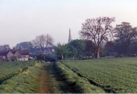
Image of track across primrose field to Knapp's Farm, entering into Cheyne Lane and Primrose Lane, showing Primrose Cottages and spire of St Mary's. Originally a drover's road into Bampton via the Ford at Shill Brook
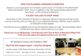
Poster announcing Meeting to be held in Bampton Village Hall on 11th February to raise funds to fight the development of 127 house in Aston Road by Gladman Developments. Mention of Flooding 187 houses in 2007
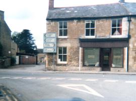
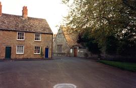
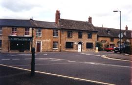
Tom Parker the solicitor had his premises here. From the late C19th it was Constables Bakery and today, 2022 it is the Chinese Take Away called Mark's Kitchen