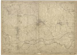
This map was produced in 1922 and shows the field system as well as the parliamentary boundaries as at 1918.
There are many interesting notes written on in pencil. The water tower and gas works along the Aston Road were in existence. The allotment gardens NW of Beam Cottage are labelled as is the gravel pit to the SW of Beam Cottage.
There are no houses to the north of New Road and none to the south of it going east from Bushey Row.
Rushy Weir is shown clearly as is the tow path to the south side of the river Thames.
The photographs were all taken by Bob West who carried the cake for the Morris for very many years. They are all of the May Bank Holiday 1997 Morris Dancing
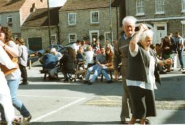
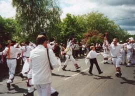
These photographs, all taken by Bob West at the Spring Bank Holiday day of Morris Dancing 2000. All but the last two are Tony Daniels' morris side, (now at 2020 under Craig Godwin). The next to last picture is of Sherbourne Morris and the last picture is Eynsham Morris, both guests of the local side.
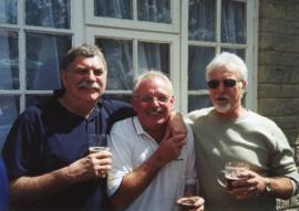
These pictures all taken by Bob West, were taken in 2004. Many are taken in the garden of the Horse Shoe. Some of the people in the pictures include Bob West Ted Poole Billy Main Mary Cook & brother Tommy Tanner Tony Daniels Dave Rose Ann & Francis Shergold Clare Hall Maurice New Jasper Walsh Reg Hall Jim Buckingham Heather David (at Tickhill) Eric Stott Ivy Poole Carole New Liz Rose Roger West
These photographs, all taken by Bob West are of the Tony Daniels' morris side in 2004. People in the pictures include Craig Godwin - who became squire after Tony Margaret Barnes Liz Rose Marian Rouse Bob West Andrew West Brian Rouse Roger West Toby Perry Martin Landray Ted Poole Ivy Poole
These photographs, all taken by Bob West record the Spring Bank Holiday Morris Dancing of Tony Daniels' side in 2005. Leyland Morris were the invited visiting dancers.
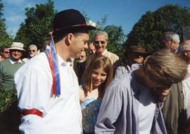
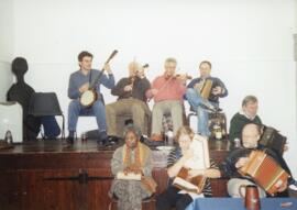
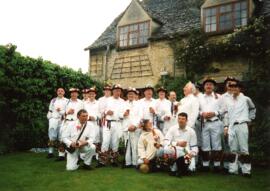
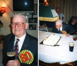
These pictures all taken by Bob West during the May Bank Holiday weekend in 1999. People in them include Francis Shergold Paul Goss Rod Stradling Bob Davenport Bob West Martin Landray Ruth Wheeler Ann Shergold Danny Stradling Reg Hall
This map was produce for the sale of the Lew Estate in 1914. There used to be a Post Office and a school in Lew, both shown on this map between University Farm and Holy Trinity Church on the main road.
Lower Haddon Farm in the very north of the Bampton area was sold in March 1949. One of these maps was produced by Jackson-Stops of Cirencester the auctioneers and the other was a hand drawn one. They show the names of the fields and what was being grown in them at the time.