Identity area
Reference code
BCA - 2020.2396
Title
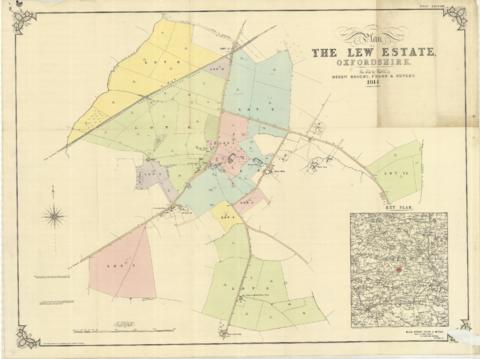
The Lew Estate 1914
Date(s)
- 1914 (Creation)
Level of description
Item
Extent and medium
one map
Context area
Name of creator
Biographical history
Archival history
Immediate source of acquisition or transfer
Content and structure area
Scope and content
This map was produce for the sale of the Lew Estate in 1914.
There used to be a Post Office and a school in Lew, both shown on this map between University Farm and Holy Trinity Church on the main road.