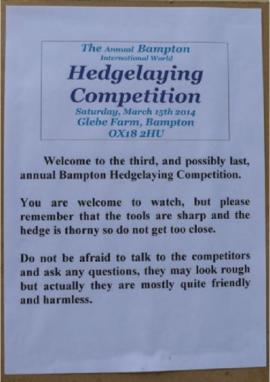
2014 Bampton Hedgelaying Competition
- BCA - 2021.3153
- Item
- 2014
2014 Bampton Hedgelaying Competition
Nik Stanbridge
1594 results with digital objects Show results with digital objects
2014 Bampton Hedgelaying Competition
2014 Bampton Hedgelaying Competition
Nik Stanbridge
2003 Craig Godwin & Jamie Wheeler receive their tankard for 25 years with BTMM
2003 Craig Godwin & Jamie Wheeler receive their tankard for 25 years with BTMM
Nik Stanbridge
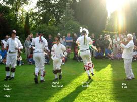
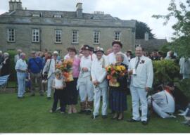
2003 Bampton Traditional Morris Men, May Bank Holiday in Bampton
2003 Bampton Traditional Morris Men, May Bank Holiday in Bampton
Nik Stanbridge
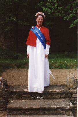
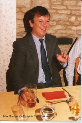
1992 Pumpkin Club May Queen, May Day fun, Tara Wright May Queen, club dinner
1992 Pumpkin Club May Queen, May Day fun, Tara Wright May Queen, club dinner
Nik Stanbridge
1991 May Queen Julie Kelman, May Day Fair, grand weigh-in, club dinner
1991 May Queen Julie Kelman, May Day Fair, grand weigh-in, club dinner
Nik Stanbridge
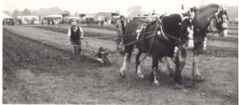
1983 FFF&B Ploughing Match held at Weald Farm
1983 FFF&B Ploughing Match held at Weald Farm
Nik Stanbridge
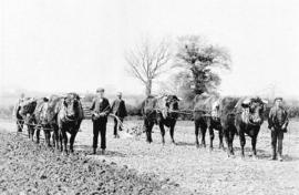
1980, 1982 and 2003 FFF&B Ploughing matches
1980, 1982 and 2003 FFF&B Ploughing matches
Nik Stanbridge
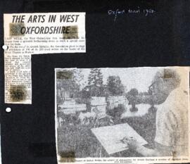
1980 West Ox Arts celebrates its 7th year with an open air event at Radcot Bridge
To mark its 7th year West Ox Arts held an exhibition of 100 of its 250 local artists' work on the banks of the river Thames at Radcot.
Bampton Community Archive

1974 OS map of Bampton and Aston
This Ordinance Survey map was produced in 1974 and covers the area from Hobbs buildings/Deanery Farm in the north, due east to Coal Pit Farm, south to Bampton centre, on south to Weald, east to Aston and south to the Radcot Cut and Great Brook and the Thames.
Bampton Community Archive