Identity area
Reference code
BCA - 2020.2402
Title
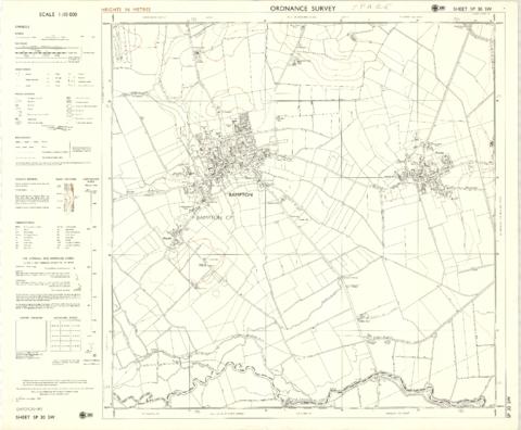
1974 OS map of Bampton and Aston
Date(s)
- 1974 (Creation)
Level of description
Item
Extent and medium
one map
Context area
Name of creator
Biographical history
Archival history
Immediate source of acquisition or transfer
Content and structure area
Scope and content
This Ordinance Survey map was produced in 1974 and covers the area from Hobbs buildings/Deanery Farm in the north, due east to Coal Pit Farm, south to Bampton centre, on south to Weald, east to Aston and south to the Radcot Cut and Great Brook and the Thames.