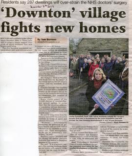
Newspaper article objecting to the proposed new housing developments in Bampton and reporting on the additional strain on the Doctors Surgery. Developers Gladstone and Richmond Estates
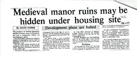
Article in Witney Gazette about development plans being halted because there is a possibility that the Medieval Ruins of the D'Oyley Family home are on the Site. Situated in Moonraker Lane, it was proposed to demolish Folly House and CBL Electric Vehicles Yard and build some retirement homes. Oxford Archaeological Unit, and Dr John Blair, Historian at Queens College Oxford identified the historic importance of this site.
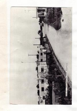
B/w photo of the Caravan Park, date unknown, but probably about 1970-80. Now known as St. Mary's Court, in Primrose Lane, Weald. Mr Reg Rouse used one of his fields to site a few caravans.
two maps - A Plan of Lower Hadden Farm from the Auction held in March 1949, and a hand drawn map of same area Auctioneers were Jackson-Stops (Cirencester) With hand written field names as follows Bampton Station Fairford to Oxford GWR Barnleys Pasture Big Barleys Big Row Black Bourton Road Bowlie Ground Bridle Path to Black Bourton Bridle Road Broad Close Cow Leas Far Hill Far Limber Front Field Furse Hill Harps Highmoor Brook Home Close Horn Ground James' Meadow Little Barleys Long Meadow Lower Hadden Farm Middle Hill Mill Barn Copse Near Barleys Near Limber Pike Ground Pond Gardens Rogers Meadow Rushey Row Smart Hill The Big Monk Water Meadows Willow Beds