Showing 32 results
Archival description32 results with digital objects Show results with digital objects
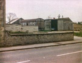
Castle View farm and house c1971

Ordnance Survey Plan SP3002-3102 1971. Cowleaze Corner Weald to Aston Road
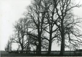
Felling the dead elm trees behind Glebelands mid 1970s
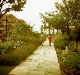
Beam Cottage, Dor Thomson with Julie and Roger Powell
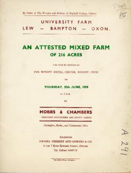
Sales brochure for University Farm, Lew June 25th 1959
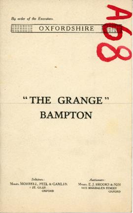
Sale brochure for The Grange, High St. Wednesday April 16th 1930

Ordnance Survey Map dated 1922 Grafton to Chimney including villages

Second Edition 1899. Ordnance Survey Map Central Bampton east towards Aston

Second Edition 1899. Ordnance Survey Map Black Bourton, Cowleaze Corner east to Central Bampton
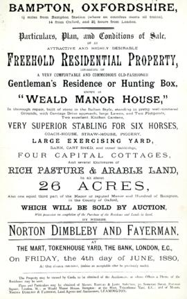
Sales brochure for Weald Manor 1880 and again 1886
Results 21 to 30 of 32
- « Previous
- 1
- 2
- 3
- 4
- Next »