Second of three Second Edition 1899 Ordnance Survey Maps showing Black Bourton, Cowleaze Corner to Central Bampton and shows the following places Manor House Mill Bridge Millgreen Terrace New Inn Lane Plantation Sandford Villa Swan Inn The Grange Trinity Vicarage Weald Manor House
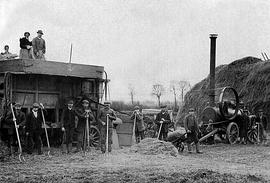
Before combine harvesters were the norm, threshing was done any time from November onwards when other harvesting had been done and probably once the cattle had been brought in under cover for the winter.
Ordnance Survey Map showing Area from Marsh Lane, Weald and Clanfield Road, used by Habgood and Mammatt Chartered Auctioneers and Estate Agents of Witney Some Pencil markings showing land belonging to Parker, Abingdon Poor, Litchfield, Buckingham, Townsend, and "Little Weald" Auction 15/6/62. Printed and published by Ordnance Survey Office Southampton 1913 Price 3/-
This map is from 1913 and covers the area from Marsh Lane on the eastern edge of Clanfield west across Weald. However, all of Bridge Street, half the Talbot Inn, the west side of the Market Square, the South side of Church Street and Church View are all in Weald and they are not shown here, possibly because the map was for agricultural purposes. There are some very interesting notes added in pencil.
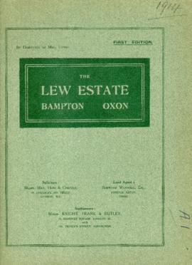
These are two parts of one map created in 1914. I've picked them out to show where the school used to be in Lew, next to University Farm and the Post Office a little to the east just before you get to Trinity Church.