Identity area
Reference code
BCA - 2020.2403
Title
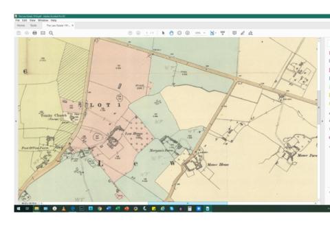
Lew School and Post Office & Post Office Farm on a 1914 map
Date(s)
- 1914 (Creation)
Level of description
Item
Extent and medium
2 maps
Context area
Name of creator
Biographical history
Archival history
Immediate source of acquisition or transfer
Content and structure area
Scope and content
These are two parts of one map created in 1914. I've picked them out to show where the school used to be in Lew, next to University Farm and the Post Office a little to the east just before you get to Trinity Church.