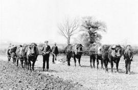
1982 FFF&B Ploughing match
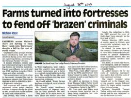
Farms turned into fortresses
The Development of Printed Maps of Oxfordshire: From GOUGH to Google
The Development of Printed Maps of Oxfordshire: From GOUGH to Google
Ploughing Match FFF&B 1980
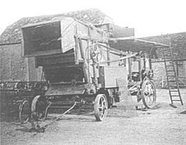
Farm in Bampton early 20th century next to the Deanery

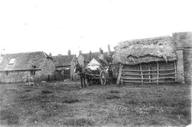
The Lew Estate 1914

Second Edition 1899 Ordnance Survey Map Mt Owen Rd, west towards Lew

Second Edition 1899. Ordnance Survey Map Black Bourton, Cowleaze Corner east to Central Bampton

Second Edition 1899. Ordnance Survey Map Central Bampton east towards Aston

Ordnance Survey Map dated 1922 Grafton to Chimney including villages