Identity area
Reference code
BCA - 2022.3832
Title
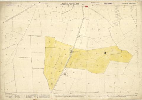
Second Edition 1899 Ordnance Survey Map Mt Owen Rd, west towards Lew
Date(s)
- 1899 (Creation)
Level of description
Series
Extent and medium
PDF of Map No 3
Context area
Name of creator
Biographical history
Archival history
Immediate source of acquisition or transfer
Content and structure area
Scope and content
Third of 3 Second Edition 1899 Ordnance Survey Maps Showing Mount Owen Road towards Lew. There are some pencil notes and some fields are coloured yellow.
The following places are shown
Lew Lodge
Coalpit Farm
Mount Owen Farm
Ditcham Wood
Rushey Butts

