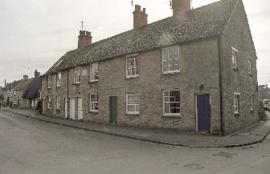
Church Street South Side

Second Edition 1899. Ordnance Survey Map Black Bourton, Cowleaze Corner east to Central Bampton

Second Edition 1899. Ordnance Survey Map Central Bampton east towards Aston

Ordnance Survey Map dated 1922 Grafton to Chimney including villages

Ordnance Survey Plan SP3002-3102 1971. Cowleaze Corner Weald to Aston Road
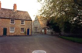
Bourton Cottages, and Old Grammar School
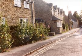
Images of Buildings in Church Street 1998
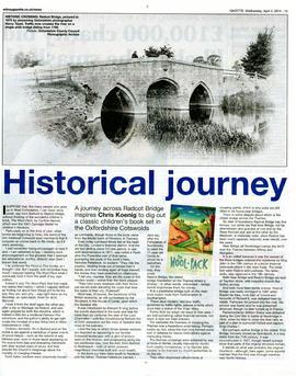
Radcot Bridge 1875
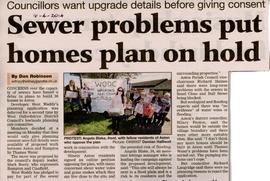
Worries about sewerage system coping with 38 more houses proposed in Aston April 2014
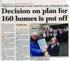
Fight against 160 houses at the NE end of New Road 2014