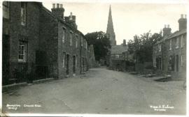
Church View (early C20th) looking to St Mary's
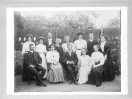
Friendly Society

2nd edition maps of 1899 Bampton, Black Bourton, Mt Owen Road

Second Edition 1899. Ordnance Survey Map Central Bampton east towards Aston

Second Edition 1899 Ordnance Survey Map Mt Owen Rd, west towards Lew

Second Edition 1899. Ordnance Survey Map Black Bourton, Cowleaze Corner east to Central Bampton
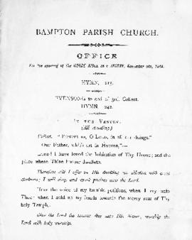
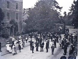
St. Mary the Virgin Church - Opening of the Horde Aisle as a vestry 1894
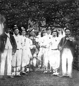
Bampton Morris Dancers from 1894 to 1950
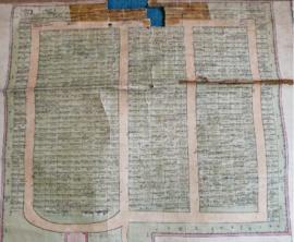
Cemetery Map, St Mary's, 1890
Os Williams' family in the 1890s
Results 1531 to 1540 of 1600