
Second Edition 1899. Ordnance Survey Map Central Bampton east towards Aston

Ordnance Survey Map dated 1922 Grafton to Chimney including villages

Ordnance Survey Plan SP3002-3102 1971. Cowleaze Corner Weald to Aston Road

Lower Haddon Farm 1949 Auction Maps
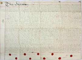
Indenture made May 10th 1808

Bampton at Time of the Enclosure Act 1821

Map of Aston & Bampton dated 1773 pre Inclosure Act
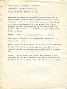
A General View of Agriculture in Oxfordshire

Map 1913 Edition Marsh Lane East incl Weald and Clanfield Road
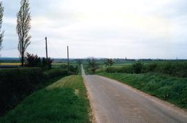
View down Mount Owen 1991