
Ordnance Survey Plan SP3203-3303. 1971 Mt Owen Rd east inc. Gogg Lane, Aston Road to Aston

Ordnance Survey PlanSP3002-3102 Weald, Hayway Lane, Weald St, Clanfield Rd. 1971

1797 Map showing Bampton Hundred
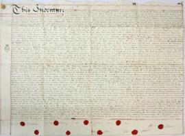
Indenture made May 10th 1808

Map of Aston & Bampton dated 1773 pre Inclosure Act

Bampton at Time of the Enclosure Act 1821
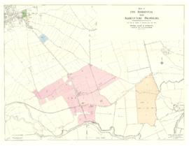
Five Residential and Agricultural Plots for Sale 1962

Maps of East Half of Bampton 1921
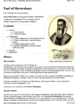
George Talbot, The 6th Earl of Shrewsbury 1528-1590
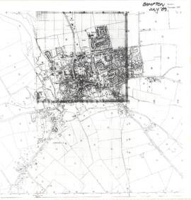
Map of Bampton July 1989 revised 1990