Identity area
Reference code
BCA - 2022.3814
Title
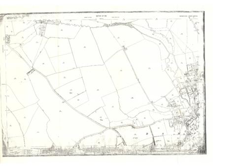
Maps of East Half of Bampton 1921
Date(s)
- 1921 (Creation)
Level of description
Item
Extent and medium
PDF x 3 Large Maps
Context area
Name of creator
Biographical history
Archival history
Immediate source of acquisition or transfer
Content and structure area
Scope and content
3 Large ordnance Survey Maps used by Hadgood and Mammatt Auctioneers and Estate Agents from Witney. Published in 1921 price £5/- and £6/8d. Points of interest are Highmoor Brook, Plantation, Ham Court, Deanery Farm, Churchgate, Vicarage, Manor House, and Weald Manor House, old gravel pit and Beam Cottage, Calais Farm, Primrose Cottages, Fisher's Bridge