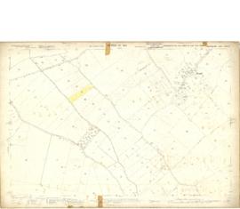
Map 1913 Edition Marsh Lane East incl Weald and Clanfield Road
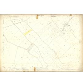
1913 map of Weald, west to Marsh Lane on east edge of Clanfield
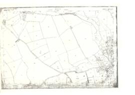
Map of Weald from Plantation south to Cowleaze Corner, east to the Elephant & Castle
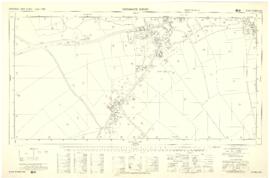
Ordnance Survey PlanSP3002-3102 Weald, Hayway Lane, Weald St, Clanfield Rd. 1971
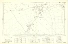
Ordnance Survey Plan SP3002-3102 1971. Cowleaze Corner Weald to Aston Road
