Identity area
Reference code
BCA - 2020.2390
Title
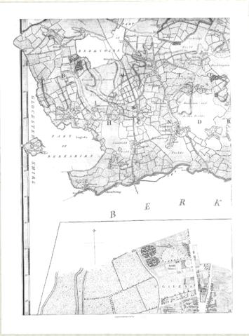
Map of 1797. Westwell east to Curbridge, Kemscott east to Coat Common plus St Giles Oxford
Date(s)
- 1797 (Creation)
Level of description
Item
Extent and medium
one map
Context area
Name of creator
Biographical history
Archival history
Immediate source of acquisition or transfer
Content and structure area
Scope and content
This map of 1797 shows the Bampton Hundred and the fields. There is also a map of St Giles in Oxford at this time. Today, Kelmscott is spelt with two Ts but on this map it has one.