Ordnance Survey Map showing Area from Marsh Lane, Weald and Clanfield Road, used by Habgood and Mammatt Chartered Auctioneers and Estate Agents of Witney Some Pencil markings showing land belonging to Parker, Abingdon Poor, Litchfield, Buckingham, Townsend, and "Little Weald" Auction 15/6/62. Printed and published by Ordnance Survey Office Southampton 1913 Price 3/-
This map is from 1913 and covers the area from Marsh Lane on the eastern edge of Clanfield west across Weald. However, all of Bridge Street, half the Talbot Inn, the west side of the Market Square, the South side of Church Street and Church View are all in Weald and they are not shown here, possibly because the map was for agricultural purposes. There are some very interesting notes added in pencil.
These are two parts of one map created in 1914. I've picked them out to show where the school used to be in Lew, next to University Farm and the Post Office a little to the east just before you get to Trinity Church.
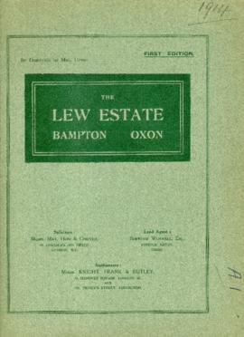
This map was produce for the sale of the Lew Estate in 1914. There used to be a Post Office and a school in Lew, both shown on this map between University Farm and Holy Trinity Church on the main road.
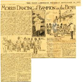
Article about Morris Dancing of Bampton in the Bush from the Reading Standard 25th July 2014?. edited from Article in Daily Chronicle September 1914, both copies attached
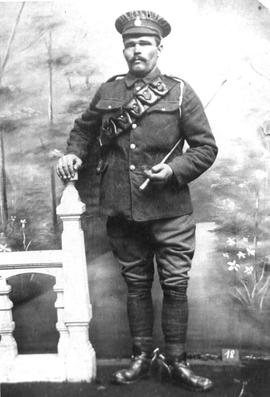
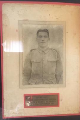
Richard Buckingham said"My great uncle Ernest Christopher Buckingham. Private 9991 Ox & Bucks Light Infantry. He is mentioned on the Menin Gate memorial.