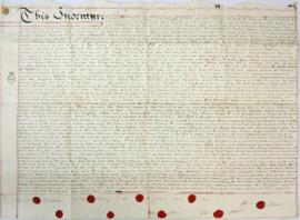
Indenture made May 10th 1808

Lower Haddon Farm 1949 Auction Maps

Ordnance Survey Plan SP3002-3102 1971. Cowleaze Corner Weald to Aston Road

Ordnance Survey Map dated 1922 Grafton to Chimney including villages

Second Edition 1899. Ordnance Survey Map Central Bampton east towards Aston

Second Edition 1899. Ordnance Survey Map Black Bourton, Cowleaze Corner east to Central Bampton

Second Edition 1899 Ordnance Survey Map Mt Owen Rd, west towards Lew

The Lew Estate 1914
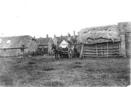
Farm in Bampton early 20th century next to the Deanery
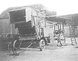
Ploughing Match FFF&B 1980