Showing 26 results

Archival description
Maps With digital objects
Print preview View:

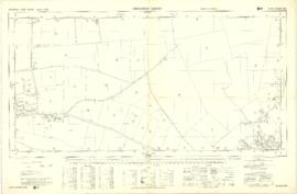
Ordnance Survey Plan SP3203-3303. 1971 Mt Owen Rd east inc. Gogg Lane, Aston Road to Aston

  • BCA - 2022.3826
  • Item
  • 1971

Ordnance Survey Plan SP3203-3303. 1971 Extending from Mt Owen Rd east inc. Gogg Lane, Aston Road and part of Aston. showing the following places:
New Road
White Owl Farm
Bradshaw Close
Kenlincott
Kiln Close
Back Lane
Greenacres Lane
Elmside
Barry House
Ferndale
Back Cottage

Byeways
Laundry Lane
Kingsway Farm
High Street West End
The Limes
West End Farm
Home Farm House
Greens Row
Elvina
Aston Ditch
Mercury Close
Beam Cottage
Old Gasworks Building
New Road
The Willows
St Andrews

Janet Westman

Ordnance Survey PlanSP3002-3102 Weald, Hayway Lane, Weald St, Clanfield Rd. 1971

  • BCA - 2022.3824
  • Item
  • 1971

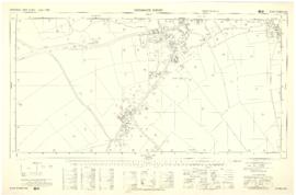
Ordnance Survey PlanSP3002-3102
extending from Weald, Hayway Lane, Weald St, Clanfield Rd. dated 1972 and showing the following properties and places:
Ashtree
Aulnoy
Backhouse Farm
Bournemead
Brook Farm
Brook Hoiuse
Buckland Road
Caravan Park
Cheyne Lane
Clanfield Road
College Farm House
Corner Farm
Cowleaze Corner
Dunlaoghaire
Fisher's Bridge
Gate Cottage
Glebe Farm
Ham Court
Ham Court Cottages
Highmoor House
Knapps Farm
Lime Tree Cottages
Mill Bridge
Mill Green
Orchard Cottage
Rose Cottage
Shill Brook
Shrangri-la
Spring Cottages
St Frideswide
Stable Cottage
Sunnyside
Thatch Cottage
The Old Farmhouse
Weald Farm
Weald Manor Cottage
Weald Manor
Weald Manor Farm

Janet Westman

Pre Inclosure map of Clanfield, Bampton, Aston & Yelford

  • BCA - 2020.2392
  • Item
  • 1624

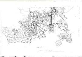
The map is pre Inclosure and covers Clanfield, Bampton, Aston and Yelford. The note with the Yelford map says it was from a map of 1624/5. A note at the right side of the page suggests all these details were pulled together from various sources in 1833 which is post Inclosure, which for the Bampton area was 1821. I can't work out what maps were used for the non-Yelford map but it says HHH is Aston 1771.

Bampton Community Archive

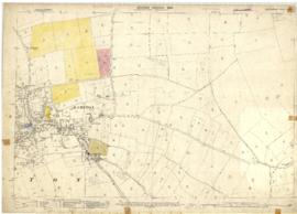
Second Edition 1899. Ordnance Survey Map Central Bampton east towards Aston

  • BCA - 2022.3831
  • Series
  • 1899

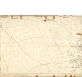
First of three Second Edition 1899 Ordnance Survey Maps showing Central Bampton, north & south, east nearly to Aston, Someone has annotated the map with pencil showing who owns various fields, and when bought and the cost.
Names of people owning fields

Mr. Wilkins
JG Andrews Trustees
FF Southby
Stevens of Calais Farm
WW Shepherd
Mr Rose
Mr Carter
Sold 18th May 1950 L H Saunders for £400
Sold 18th May 1950 Mr Read for £700
L Dafter
Sold 18th May 1950 to F A Gerring for £2275

Places shown on Map in 1899 as follows:
Beam Cottage
Bridge Street
Calais Farm
Cheapside
Church Street
Fishers Bridge
Manor Cottage
Manor House
New Inn Lane
Primrose Cottages
Swan Inn
The Grange

Janet Westman

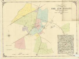
The Lew Estate 1914

  • BCA - 2020.2396
  • Item
  • 1914

This map was produce for the sale of the Lew Estate in 1914.
There used to be a Post Office and a school in Lew, both shown on this map between University Farm and Holy Trinity Church on the main road.

Bampton Community Archive

Results 21 to 26 of 26