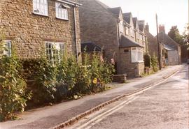
Church Street South Side
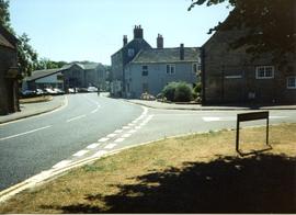
Cheapside 1950
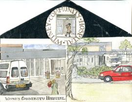
Hilda Kent Artwork

The Lew Estate 1914

Second Edition 1899 Ordnance Survey Map Mt Owen Rd, west towards Lew

Second Edition 1899. Ordnance Survey Map Black Bourton, Cowleaze Corner east to Central Bampton

Second Edition 1899. Ordnance Survey Map Central Bampton east towards Aston

Ordnance Survey Map dated 1922 Grafton to Chimney including villages

Lower Haddon Farm 1949 Auction Maps

Ordnance Survey Plan SP3203-3303. 1971 Mt Owen Rd east inc. Gogg Lane, Aston Road to Aston