
Second Edition 1899. Ordnance Survey Map Central Bampton east towards Aston

Second Edition 1899 Ordnance Survey Map Mt Owen Rd, west towards Lew

Second Edition 1899. Ordnance Survey Map Black Bourton, Cowleaze Corner east to Central Bampton
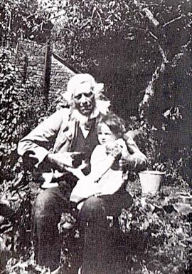
Shadrack 'Shepherd' Hayden 1829-1916

Bampton at Time of the Enclosure Act 1821

A General View of Agriculture in Oxfordshire
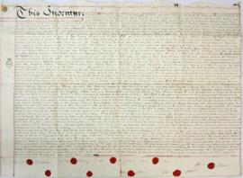
Indenture made May 10th 1808
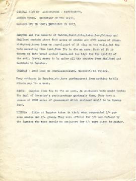
Agriculture in Bampton, Haddon, Weald, Cote, Aston, Lew, Chimney and Shifford (1807)

Map of 1797. Westwell east to Curbridge, Kemscott east to Coat Common plus St Giles Oxford

Map of Bampton Estate at 1789