Print preview Close
Showing 12 results
Archival description12 results with digital objects Show results with digital objects

1797 Map showing Bampton Hundred

Bampton at Time of the Enclosure Act 1821

Lower Haddon Farm 1949 Auction Maps

Map of Aston & Bampton dated 1773 pre Inclosure Act
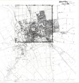
Map of Bampton July 1989 revised 1990

Maps of East Half of Bampton 1921

Ordnance Survey Map dated 1922 Grafton to Chimney including villages

Ordnance Survey PlanSP3002-3102 Weald, Hayway Lane, Weald St, Clanfield Rd. 1971

Second Edition 1899. Ordnance Survey Map Black Bourton, Cowleaze Corner east to Central Bampton

Second Edition 1899. Ordnance Survey Map Central Bampton east towards Aston
Results 1 to 10 of 12