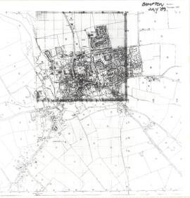
Map of Bampton July 1989 revised 1990
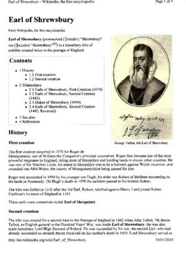
George Talbot, The 6th Earl of Shrewsbury 1528-1590
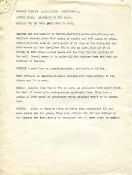
A General View of Agriculture in Oxfordshire
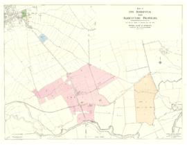
Five Residential and Agricultural Plots for Sale 1962

Map of Aston & Bampton dated 1773 pre Inclosure Act
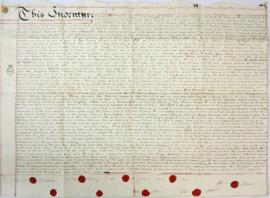
Indenture made May 10th 1808
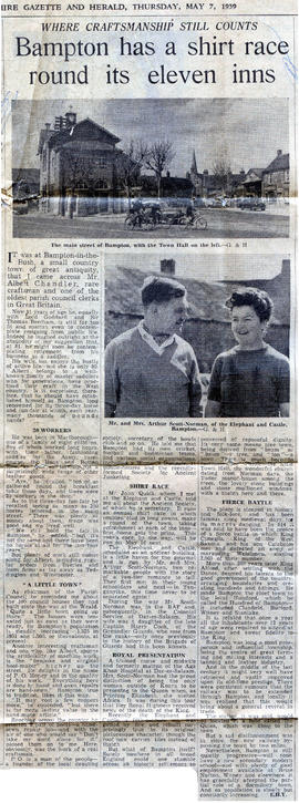
Bampton has a Shirt Race around its 11 pubs. May 7th 1959
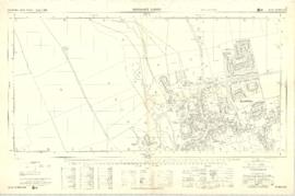
Ordnance Survey Plan SP3003-3103. Bridge St east Colvile Close etc 1971

Ordnance Survey Plan SP3203-3303. 1971 Mt Owen Rd east inc. Gogg Lane, Aston Road to Aston

Ordnance Survey Plan SP3002-3102 1971. Cowleaze Corner Weald to Aston Road