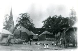
Thatched hayricks

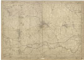
Second Edition 1899. Ordnance Survey Map Black Bourton, Cowleaze Corner east to Central Bampton

Map of 1797. Westwell east to Curbridge, Kemscott east to Coat Common plus St Giles Oxford

1913 map of Weald, west to Marsh Lane on east edge of Clanfield

Map of Bampton Estate at 1789
1922 map of Clanfield, Alvescot, Black Bourton, Grafton, Bampton, Aston, Cote & Chimney
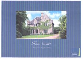
Sales brochure for Ham Court 2010
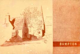
Report on the Survey & Plan of Bampton by M W Robinson, County Planning Officer October 1966
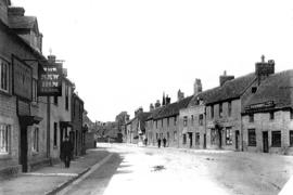
The Morris Clown, previously The New Inn and originally The George