Identity area
Reference code
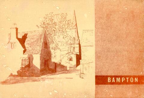
Title
Date(s)
- 1966 (Creation)
Level of description
Item
Extent and medium
pdf of 17 pages
Context area
Name of creator
Biographical history
Archival history
Immediate source of acquisition or transfer
Content and structure area
Scope and content
This report on the Survey & Plan of Bampton was done under the guidance of M W Robinson FRICS MTPI in October 1966. It makes very interesting reading and the conclusions are as relevant today as they were then. The topics covered are 1. Population 2. Situation 3. Character 4. The people 5. Shopping 6. Principal road connections 7. Schools 8. Open spaces 9. Social facilities, Public Services etc 10. Surface water drainage 11. Sewage disposal 12. Water supply and much more. It makes a very interesting read particularly in the light of all the dwellings that have been built here since October 1966, all those being built now (Jan 2017) and those being proposed when considering the access into Bampton has not been improved yet in 1966 one of the conclusions states was that Bampton could not take further development, a by-pass was not possible and no further space for parking other than possibly in Church Street could be made. Houses have since been built on the land in Church Street