Print preview Close
Showing 26 results
Archival description24 results with digital objects Show results with digital objects
Ordnance Survey Plan SP3003-3103. Bridge St east Colvile Close etc 1971

Ordnance Survey Plan SP3203-3303. 1971 Mt Owen Rd east inc. Gogg Lane, Aston Road to Aston

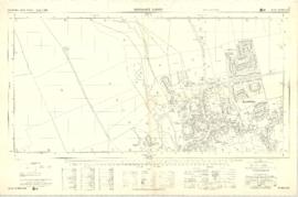
Ordnance Survey PlanSP3002-3102 Weald, Hayway Lane, Weald St, Clanfield Rd. 1971

Pre Inclosure map of Clanfield, Bampton, Aston & Yelford
The Development of Printed Maps of Oxfordshire: From GOUGH to Google
The Development of Printed Maps of Oxfordshire: From GOUGH to Google

The Lew Estate 1914
Results 21 to 26 of 26
- « Previous
- 1
- 2
- 3