Showing 28 results

Archival description
Maps
Print preview View:

26 results with digital objects Show results with digital objects

Pre Inclosure map of Clanfield, Bampton, Aston & Yelford

  • BCA - 2020.2392
  • Item
  • 1624

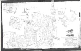
The map is pre Inclosure and covers Clanfield, Bampton, Aston and Yelford. The note with the Yelford map says it was from a map of 1624/5. A note at the right side of the page suggests all these details were pulled together from various sources in 1833 which is post Inclosure, which for the Bampton area was 1821. I can't work out what maps were used for the non-Yelford map but it says HHH is Aston 1771.

Bampton Community Archive

Map of Bampton Estate at 1789

  • BCA - 2019.1890
  • Item
  • 1789

This map shows the Bampton Estates at 1789. This is before the fields were enclosed and the names of the people who farmed the strips or the name of the field area are on the map. The Quies fields are each side of the Bampton to Brize Norton road, just north of what is now Hobbs Buildings.
The Clanfield to Bampton road is showing top to bottom on the map whereas it really runs east west, so you need to get your head around that, literally.
What we now call Welcome Way is called Wiltham Way - it runs south from Cowleaze Corner into Weald.
Weald Common Meadow was south of what we now think of as the area containing the two Bampton Business Parks.
The Bampton to Buckland road is showing going left to right on the map when it actually runs NW to SE; it had a turnpike.

Bampton Community Archive

1797 Map showing Bampton Hundred

  • BCA - 2022.3819
  • Item
  • 1797

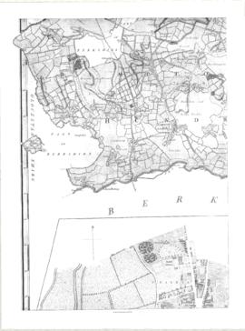
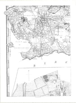
Map showing Oxfordshire area from Westwell to Curbridge and Kelmscot to Coat (Cote) Common, Bampton Hundred,
plus segment showing St Giles, Oxford.
Published by R. Davis Lewknor August 1797 and indicating:
Alvescot, Asthrop Farm, Aston, Bampton and Aston Fields, Bampton in the Bush, Barley Park, Black Bourton, Brize Norton, Broadwell Grove, Broughton, Burwell Farm, Caswell, Clanfield, Clarks Wier, Claywell, Coat, Curbridge, David Wier, Ducklington, Ducklington, Eaton Hastings, Eaton Hastings, Friars Court, Grafton, Great Lemhill, Harts Wier, Holwell, Kelmscot, Kencote, Langfiord, Lew Barrow, Lew Barrow, Little Clanfield, March Haddon, Nans Wier, Nethber Filkins, New Mill, Ouseham Mill, Over Filkins, Oxley, Radcot, Rushey , Shill Farm, Shilton, Signet, Starvehall Farm, Sworn Leys, Tadpole and Bridge, Ten Foot Wier, Turnpike, Westwell, Witney Park, ,

Janet Westman

Bampton at Time of the Enclosure Act 1821

  • BCA - 2022.3816
  • Item
  • 1821

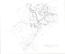
These maps are copied from the document housed at St. Luke's Museum, in East Oxford. The Maps show The fish ponds and water courses, the areas of land and boundaries allocated to the Landowners and names of the plots. There are fish ponds marked in grey behind the Grange, by The Deanery, Weald Manor and down Cheyne Lane
Landowners are named as follows
Lord Shrewsbury, Jesus College, Miss CA Horde, H. Willis, L&T Dewe, James Dewe, The Revd G Richards, The Honourable J Coventry, H. Williams Lefsee, Abingdon Poor, Jos Andrews, Catherine Upjohn, Allotment for Tithes, The Dean and Chapter of Exeter, The Rev J Francis, Rev H Owen, W.J. Walker, Bernard Green, E. Whitaker, Josiah Andrews, G. Shingleton, Catherine Upjohn, Jos Barratt Esq, John Roberts , The Rev T Burrow, Swinbrook Charity, The Rev J Francis, John Kenn,
Names of Plots
Werge Furlong, Youngs Close, Pond Close, Cock, Hen and Chick Furlong, Burnthouse Closes, Bedsons Close, Lains Close, Wrights Hill Furlong, The Poor House, Pettifers Close, Kirks Close, Gravel Pits, The Bowling Green, Forty Acres, Grove Orchard, Dr Andrews, Forty Acres Furlong, Hawkins Piece, Lamperts Seven Acres, The Mews, Swinbrook Close, Home Orchard, Lower Orchard, Lissets Close, Fishers Bridge Close, Coppity Ground, Hows's Closes, Grove Orchard, Kirks Close, Clay Close, Little Clay, Landalls Mead, Calved Close, Dickinson Mead, Coneygra, Headland, Ten Acres F, Horse Close, The Knowl, Eight Acres, Barley ground, Eight Acre F, Gullivers Pieces, Rushey Close, Stray Close, Ham Court Orchard, Sandfords, Great Bourn, Watts Close, Bull Green, Furlong Shooting on Clanfield Footpath, Coxeters Furlong, Coxeter Piece, Varnells Furlong, Rake Ready Lane, Home Close, Spring Close, Bull Furlong, Thoroughout Furlong, Clay Furlong, Wright Hill Furlong, Home Orchard,

Janet Westman

The Development of Printed Maps of Oxfordshire: From GOUGH to Google

  • BCA - 2017.371
  • Item
  • 1477 - 1877

In October 2012 the Bampton Environmental Watch Group had a wonderful talk given by John Leighfield on the history of maps and in particular maps of Oxfordshire and Bampton. It was very interesting to note that the first maps of Bampton showed the rivers and streams but no roads, showing the importance of waterways. It really is worth looking at the maps of Bampton carefully, you'll see just how old some buildings are, where the mill was in Bampton and Kerwoods Yard which was one area for the very poor with dwellings that had no land with them, they afforded the occupier a roof as opposed to 'the park bench' but no land on which to produce any food. It's referred to in early census forms and people come to Bampton asking where it is - it's on page 15 of this pdf

Bampton Community Archive

2nd edition maps of 1899 Bampton, Black Bourton, Mt Owen Road

  • BCA - 2020.2393
  • Item
  • 1899

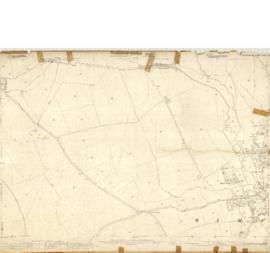
These three maps are all labelled as 2nd edition 1899. They cover the area Central Bampton, north & south, east nearly to Aston, Black Bourton south to Cowleaze Corner, east to Elephant & Castle in Bridge Street and Mt Owen Rd, west to road going up to Lew now called Station Road.
They not only show the buildings but someone has written on in pencil when certain plots were sold and to whom.
Interesting to see the clear fish-farming area with the Deanery then called Deanery Farm, Cobb House simply called Vicarage, Churchgate House called Trinity Vicarage. The third vicarage is today called Kilmore House and is almost opposite the East window of St. Mary's.
What today is called Bridge Street was then called Mill Street and the mill was just to the left of path to Sandford Field from Bridge St. The legend is the mill wheel was buried in the plot to the left of the brook walking to the field from Bridge St and the tree there today was planted at its centre.

Bampton Community Archive

Second Edition 1899. Ordnance Survey Map Central Bampton east towards Aston

  • BCA - 2022.3831
  • Series
  • 1899

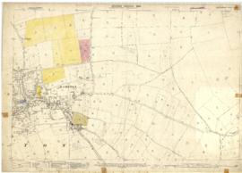
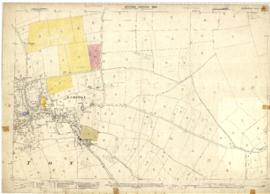
First of three Second Edition 1899 Ordnance Survey Maps showing Central Bampton, north & south, east nearly to Aston, Someone has annotated the map with pencil showing who owns various fields, and when bought and the cost.
Names of people owning fields

Mr. Wilkins
JG Andrews Trustees
FF Southby
Stevens of Calais Farm
WW Shepherd
Mr Rose
Mr Carter
Sold 18th May 1950 L H Saunders for £400
Sold 18th May 1950 Mr Read for £700
L Dafter
Sold 18th May 1950 to F A Gerring for £2275

Places shown on Map in 1899 as follows:
Beam Cottage
Bridge Street
Calais Farm
Cheapside
Church Street
Fishers Bridge
Manor Cottage
Manor House
New Inn Lane
Primrose Cottages
Swan Inn
The Grange

Janet Westman

Map 1913 Edition Marsh Lane East incl Weald and Clanfield Road

  • BCA - 2022.3812
  • Item
  • 1913

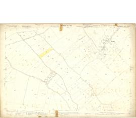
Ordnance Survey Map showing Area from Marsh Lane, Weald and Clanfield Road,
used by Habgood and Mammatt Chartered Auctioneers and Estate Agents of Witney
Some Pencil markings showing land belonging to Parker, Abingdon Poor, Litchfield, Buckingham, Townsend, and "Little Weald" Auction 15/6/62.
Printed and published by Ordnance Survey Office Southampton 1913 Price 3/-

Janet Westman

Results 1 to 10 of 28