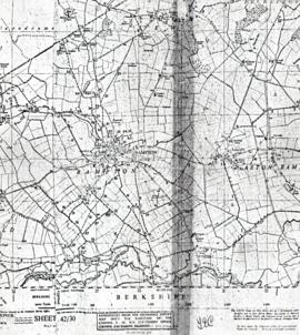
Public Footpaths in Bampton
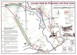
Circular Walk Map - Plantation and Ham Court
Maps by Janet Westman of Brize Norton, Cassington, Eynsham, Gloucestershire, Oxfordshire, Witney
Maps by Janet Westman of Brize Norton, Cassington, Eynsham, Gloucestershire, Oxfordshire, Witney
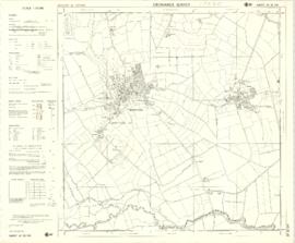
1974 OS map of Bampton and Aston
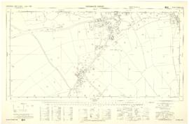
Ordnance Survey PlanSP3002-3102 Weald, Hayway Lane, Weald St, Clanfield Rd. 1971
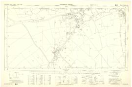
Four OS maps of Bampton 1971
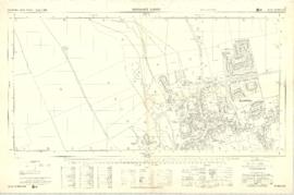
Ordnance Survey Plan SP3003-3103. Bridge St east Colvile Close etc 1971
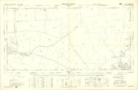
Ordnance Survey Plan SP3203-3303. 1971 Mt Owen Rd east inc. Gogg Lane, Aston Road to Aston
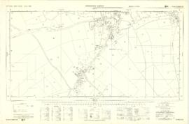
Ordnance Survey Plan SP3002-3102 1971. Cowleaze Corner Weald to Aston Road
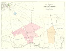
Map with the sale of 5 residential and agricultural properties 1962


