Mostrando 15 resultados

Descripción archivística
Sólo las descripciones de nivel superior Bampton Community Archive Unidad documental simple Maps
Imprimir vista previa Ver :

13 resultados con objetos digitales Muestra los resultados con objetos digitales

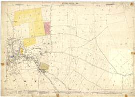
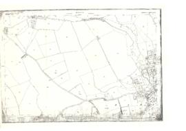
2nd edition maps of 1899 Bampton, Black Bourton, Mt Owen Road
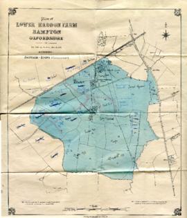
Map with sale of Lower Haddon Farm March 1949
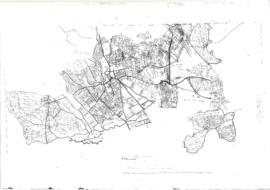
Maps by Janet Westman of Brize Norton, Cassington, Eynsham, Gloucestershire, Oxfordshire, Witney
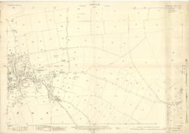
Bampton maps of 1921
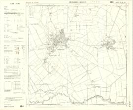
1974 OS map of Bampton and Aston
The Development of Printed Maps of Oxfordshire: From GOUGH to Google
Pre Inclosure map of Clanfield, Bampton, Aston & Yelford
Map of Weald from Plantation south to Cowleaze Corner, east to the Elephant & Castle
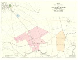
Map with the sale of 5 residential and agricultural properties 1962
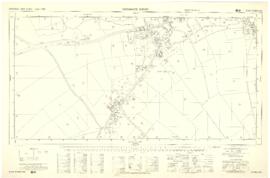
Four OS maps of Bampton 1971
Resultados 1 a 10 de 15